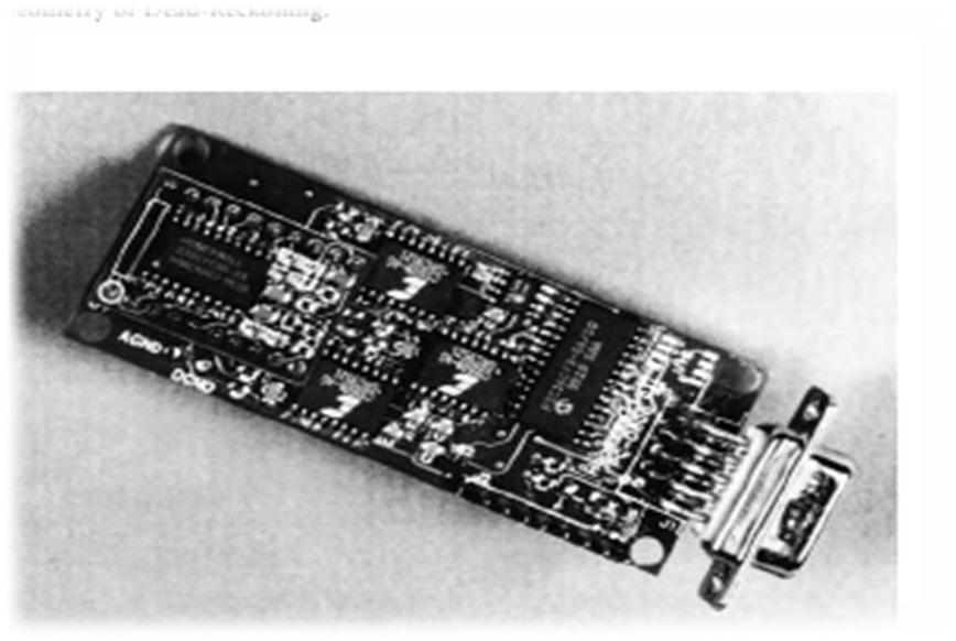
VIIUsing the schemes and figures describe dead-reckoning, navigation systems.
UNIT 17CELESTIAL NAVIGATION
AIM OF THE UNIT: - to describe celestial navigation
TASKS 1 Do your best to answer the brainstorming questions. 2 Read the text for general understanding. 3 Make up questions to the text. 4 Find the sentences with the new words in the text. Give the Kazakh or Russian equivalents of the words. 5 Write sentences with the new vocabulary. 6 Do the given exercisesfor better remembering the topic.7 Speak on the topic. Given schemes and questions will help you to remember and understand the topic. 8 Find more information about the text and prepare a presentation or a project work.
1 When does the peak elevation angle occur? 2 How latitude can be calculated by? 3 What did the human navigator observe through an astrodome on top of the aircraft? 4When were the first automatic star trackers built?
Human navigators use sextants to measure the elevation angle of celestial bodies above the visible horizon. The peak elevation angle occurs at local noon or midnight:elev angle (degrees) = 90 – latitude + declination. Thus, at local noon or midnight, latitude can be calculated by simple arithmetic from a table of declination (the angle of the sun or star above the Earth’s equatorial plane). When time began to be broadcast to vehicles in the 1930s, off-meridian observations of the elevation angles of two or more celestial bodies became possible at any known time of night (cloud cover permitting). These fixes were hand-calculated using logarithms, then plotted on charts by a navigator. In the 1930s, hand-held bubble-level sextants were built to measure the elevation of celestial bodies from an aircraft without the need to see the horizon. The human navigator observed sun and stars through an astrodome on top of the aircraft. The accuracy of celestial fixes was 5–50 miles in the air, limited by the uncertainty in the horizon and the inability to make precise angular measurements on a pitching, rolling vehicle. Kayton reviews the history of celestial navigation at sea and in the air.The first automatic star trackers, built in the late 1950s, measured the azimuth and elevation angles of stars relative to a gyroscopically stabilized platform. Approximate position measurements by dead reckoning allow the telescope to point within a fraction of a degree of the desired star. Thus, a narrow field-of-view is possible, permitting the telescope and photodetector to track stars in the daytime through a window on top of the aircraft. An on-board computer stores the right ascension and declination of 20–100 stars and computes the vehicle’s position. Automatic star trackers, used in long-range military 18-10 aircraft and on Space Shuttles, are physically mounted on the stable element of a gimballed inertial navigator. Clever design of the optics and of stellar-inertial signal-processing filters achieves accuracies better than 500 feet. Future lower-cost systems may mount the star tracker directly to the vehicle. EXERCISES FOR BETTER REMEMBERING THE TOPIC
|